
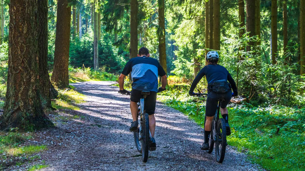
This road cycling route begins at DeSoto Bluffs Campground on Lookout Mountain in Fort Payne, Alabama and follows scenic mountain roads to the Little River Canyon Rim Parkway before returning to the campground for a total distance of approximately 28 miles.
Route Overview
Expect a moderately challenging mountain ride with sustained climbs, rolling terrain along the canyon rim, and fast descents on the way back to the campground. The route uses paved public roads that connect the campground area with the canyon rim drive, creating an out-and-back style ride of roughly 28 miles that can be shortened or extended with small variations.
- Starting and ending point: DeSoto Bluffs Campground on Lookout Mountain near Fort Payne, Alabama.
- Primary destination: Little River Canyon National Preserve and the Little River Canyon Rim Parkway scenic drive.
- Approximate distance: 28 miles round trip.
- Road surface: Paved mountain and canyon roads suitable for road and gravel bikes.
- Best seasons: Spring and fall for cooler temperatures, flowing waterfalls, and colorful foliage along the canyon.
Suggested Pull-Offs and Scenic Stops
The following stops are suggested places to pull off, rest, and enjoy views of Little River Canyon and its waterfalls while riding the rim parkway.
| Mile (Approx.) | Location | Highlights |
|---|---|---|
| 0 mi | DeSoto Bluffs Campground | Quiet RV campground on Lookout Mountain with convenient parking, staging area, and immediate access to mountain roads. |
| 8–10 mi | Little River Falls Overlook | Main waterfall at the head of Little River Canyon with a short walk to viewing platforms and multiple angles on the falls. |
| 11–12 mi | Mushroom Rock Area | Unique rock formation beside the road with nearby views into the canyon and good photo opportunities. |
| 12–13 mi | Canyon View Overlook | Open, panoramic view of Little River cutting through the sandstone canyon, ideal for photos and a mid-ride rest. |
| 19-20 mi | Eberhart Point Overlook | End-of-road style overlook with restrooms, picnic facilities, and a paved path to a wide view of the canyon; natural turnaround point. |
| 28 mi | Return to DeSoto Bluffs Campground | Finish back at the campground with options for a shower, recovery meal, and sunset views from Lookout Mountain. |
Turn-by-Turn Concept
Exact road choices can be adjusted, but the general pattern is to ride from the campground toward Little River Falls, follow the rim parkway past Mushroom Rock and Canyon View Overlook to Eberhart Point, then continue on state route 176 back to the campground.
- Depart DeSoto Bluffs Campground and ride on local Lookout Mountain roads toward the Little River Canyon Falls area.
- Reach Little River Falls and connect to the scenic rim parkway.
- Continue along the rim past Mushroom Rock and Canyon View Overlook to Eberhart Point, stopping at overlooks as desired.
- After stopping at Eberhart Point to take in the view, follow State Route 176 back to the campground, completing the 28-mile loop.
Safety, Services, and Preparation
- Be prepared for hilly terrain with sustained climbs and rolling ridges; low gearing and solid fitness are recommended.
- Carry sufficient water and nutrition and confirm seasonal availability of restrooms and water at park facilities before your ride.
- Use front and rear lights, bright clothing, and standard road-cycling safety practices, especially during busy seasons.
- Waterfall flow is highly seasonal, with the best chances for strong falls after periods of significant rainfall.
- Check the latest information on road conditions, closures, and park advisories before heading out.
This description is intended as a general planning guide and does not replace detailed maps, GPS data, or local knowledge. Distances and access points are approximate and should be verified before riding.
Full loop in Google Maps