
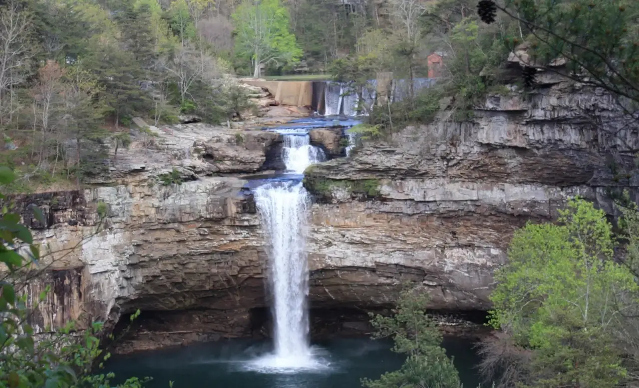
DeSoto Falls sits about 7 miles from the main area of DeSoto State Park. The picnic area and overlook are a short walk from parking, and three trails lead to other viewpoints along the gorge.
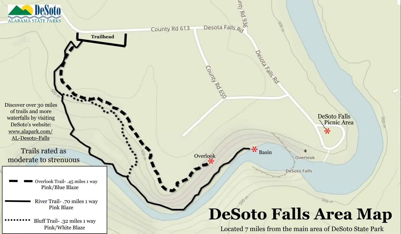
| Trail | Length (one way) | Blaze |
|---|---|---|
| Overlook Trail | 0.45 mi | Pink/blue |
| River Trail | 0.70 mi | Pink |
| Bluff Trail | 0.32 mi | Pink/white |
These trails are rated moderate to strenuous. The short walk from the picnic area to the main overlook is the easy option.
Getting there from DeSoto State Park
Head north on County Road 89 from the park and turn left at the T-intersection. After 0.8 miles, turn right at the next T-intersection. Go 3.5 miles to a 4-way stop and turn right. The DeSoto Falls Picnic Area is 1 mile ahead.
Stay behind the railings. The rock near the edge is slick, and swimming above the dam and falls is dangerous.
Directions from campMore waterfalls