
Overview of the Area
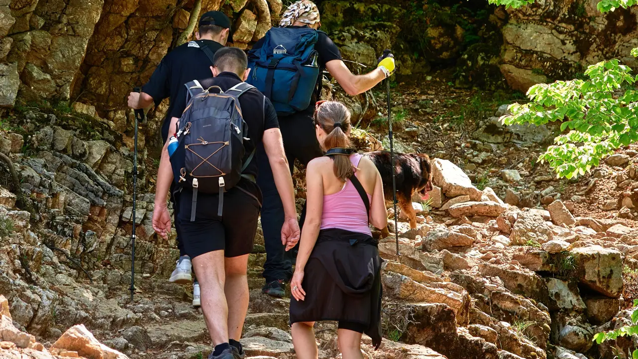
DeSoto State Park sits atop Lookout Mountain just northeast of Fort Payne and offers many miles of interconnected hiking trails through hardwood forests, rocky bluffs, and along the West Fork of the Little River.
DeSoto Falls, a spectacular 100-foot waterfall on the West Fork, lies a short drive from the main park area and serves as a scenic focal point for several short trail options and overlooks.
Trail Difficulty and Length
The table below summarizes several popular hikes around DeSoto Falls and within DeSoto State Park, including approximate distances and typical difficulty ratings based on terrain and elevation change.
| Trail / Route | Approx. Length | Difficulty | Highlights |
|---|---|---|---|
| DeSoto Falls Overlook Paths | 0.2–0.5 miles (various short paths) | Easy | Paved paths and short walks to overlooks with views of the 100-foot waterfall and plunge pool. |
| DeSoto Falls Lower Viewpoint Trail | About 0.6–1.0 miles round trip | Easy to Moderate | Short but steeper sections and steps leading down closer to the pool at the base of the falls and riverside rock outcrops. |
| Talmadge Butler Boardwalk (Azalea Cascade) | Approx. 0.2 miles one-way | Easy / Accessible | Elevated boardwalk through forest to a viewing platform at Azalea Cascade, suitable for most visitors. |
| Blue Trail (Lost Falls / Laurel Falls) | 1.3–1.7 miles one-way (often linked in a 3–3.5 mile loop with Orange) | Moderate | Forest trail along Laurel Creek with access to Lost Falls, Laurel Falls, and small cascades; mild elevation changes. |
| Orange Trail (Laurel Creek Side) | 1.5–1.8 miles one-way | Moderate | Parallel to the Blue Trail on the opposite side of the creek, allowing out-and-back or loop options with multiple waterfalls. |
| Silver Trail | About 1.3–1.7 miles one-way | Moderate | Traverses gentle slopes and mixed forest near the road and RV campground, with options to link to other color-coded trails. |
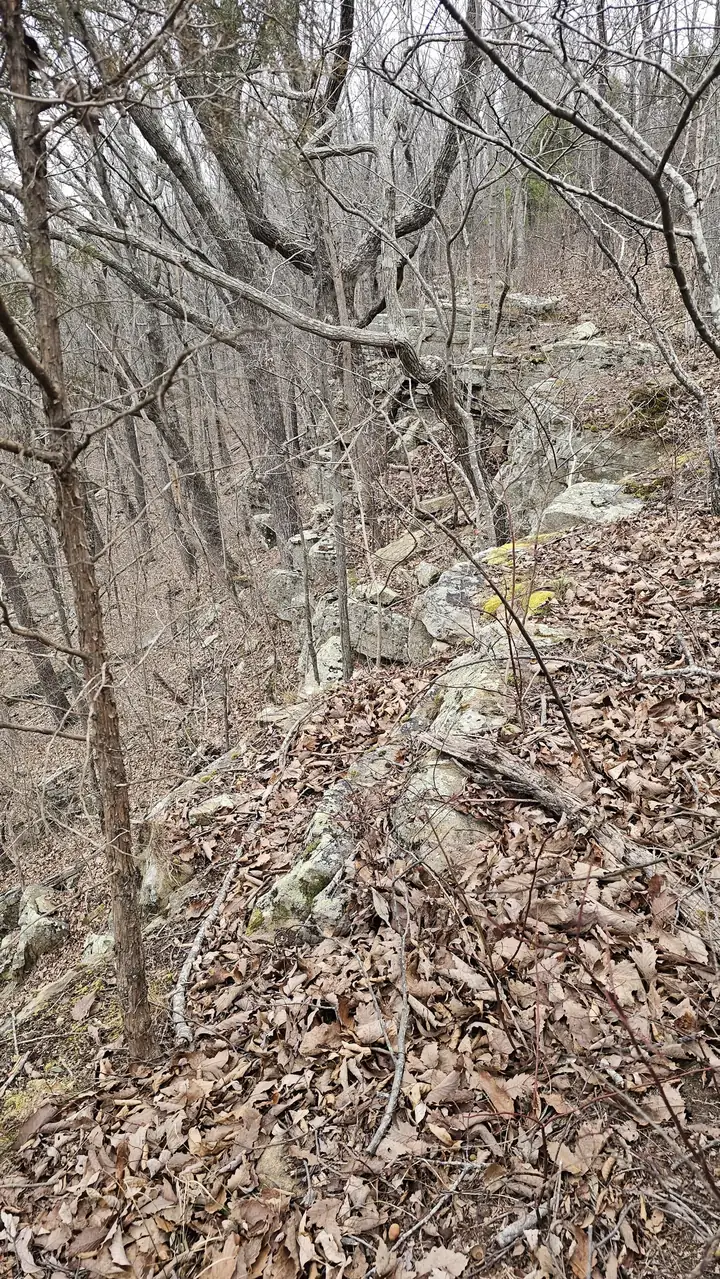
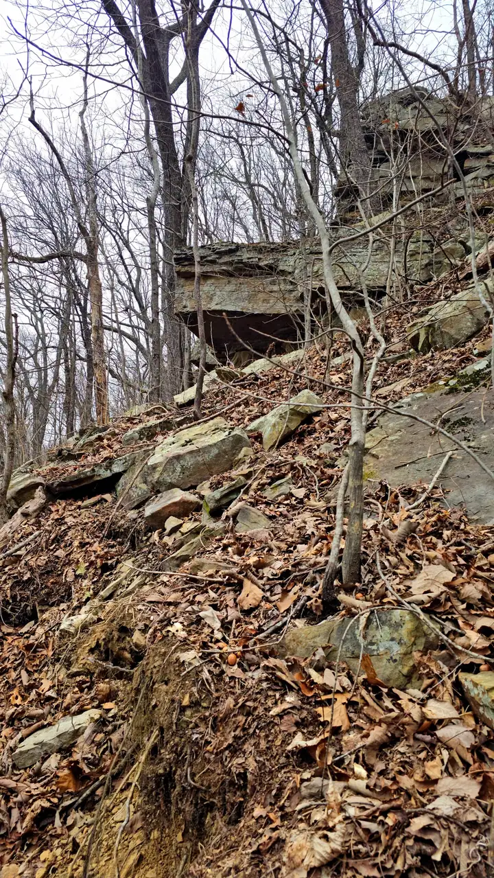
| White Trail | Approx. 2 miles | Moderate | Rolling contour path along Lookout Mountain with ravines, hardwood forest, and sandstone formations. |
| Aqua Trail | 0.4–0.5 miles | Easy | Short loop near the park pool area offering creek views and access to connecting paths and bike trails. |
| DeSoto Scout Trail (Park Segment) | 6+ miles within the park; up to 16 miles including Little River Canyon corridor | Moderate to Strenuous | Long-distance trail following the West Fork of Little River; rocky, rooty, and more remote in places. |
Distances are approximate and can vary depending on start point, route choice, and any side trips to overlooks or waterfalls.
Planning Your Hike
Select routes that match your group’s experience and fitness, especially during hot or wet conditions when rocks, roots, and creek crossings become more challenging.
- For families with small children or mobility concerns, the boardwalk and DeSoto Falls overlooks provide scenic options with minimal elevation change.
- For moderate day hikes, combine the Blue and Orange trails with short connectors to visit multiple waterfalls and cascades along Laurel Creek.
- For longer, more rugged outings, explore segments of the DeSoto Scout Trail or create loops that link the White, Silver, and connecting trails.
Always carry water, appropriate footwear, a paper or offline map, and check for trail closures or special conditions at the park office or official website before you start.