
The Little River Wildlife Management Area covers the forested country along the West Fork and main stem of Little River between DeSoto State Park and Little River Canyon. It's managed by the Alabama Department of Conservation and Natural Resources in cooperation with the National Park Service, Alabama State Parks and the Forever Wild Land Trust.
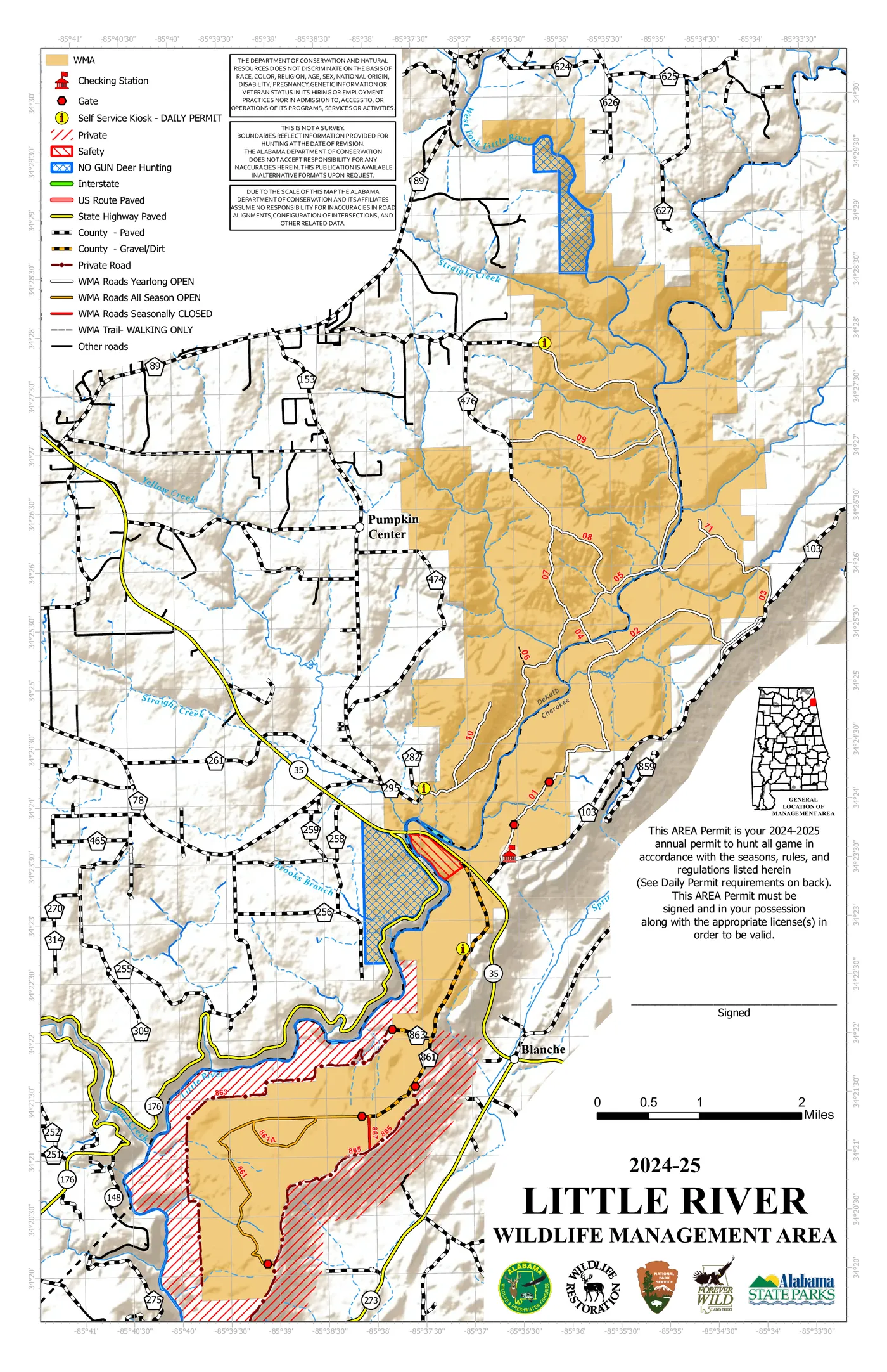
This map's hunting dates are out of date. Seasons, permits and road openings change every year. Check the current rules at OutdoorAlabama.com/WMARules before you go.
If you're visiting
- Hunting on the WMA requires the proper Alabama licenses and a WMA permit or the Outdoor Alabama check-in app.
- Hiking during hunting season? Wear blaze orange, even on a short walk.
- Some WMA roads are seasonally closed, and some are walking-only. Don't drive past gates or barricades.
- Removing plants, rocks, artifacts or firewood from the WMA isn't allowed.